Examples
Aerial views shot across the region
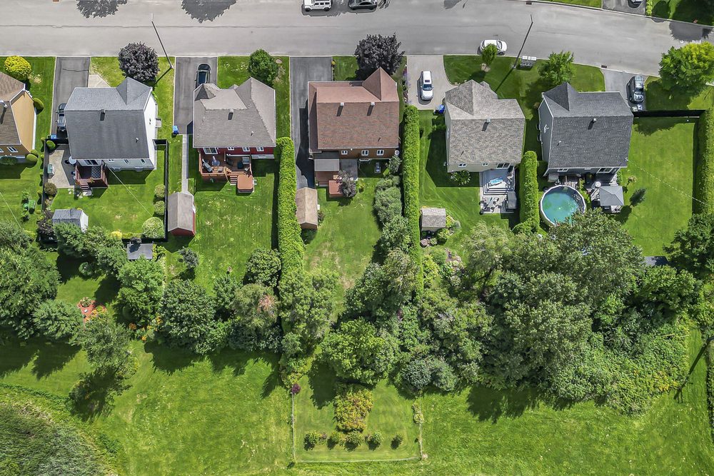
Overhead View of the LotsDrone
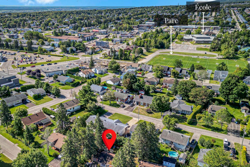
Nearby AmenitiesDrone
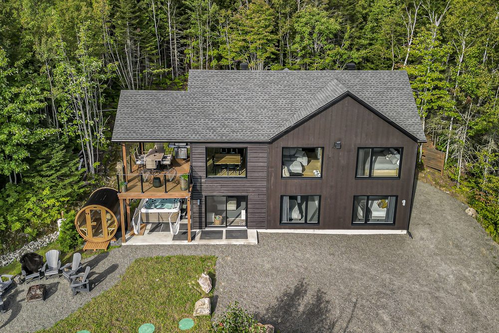
Forest Chalet, Spa and SaunaDrone
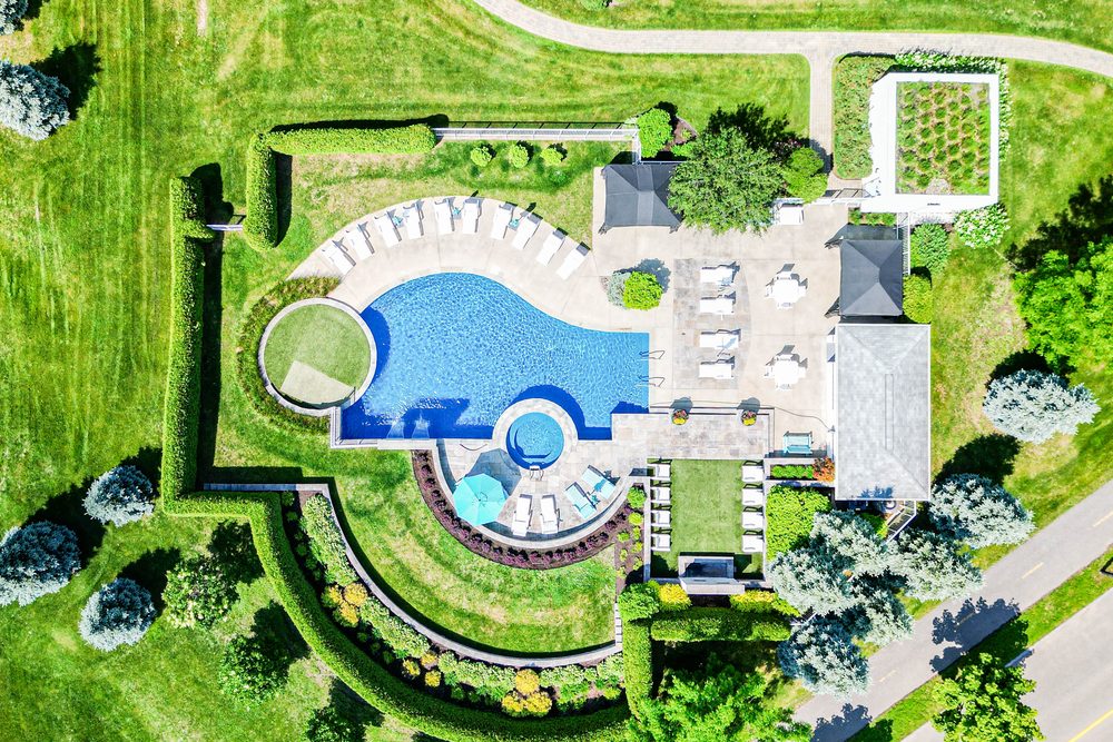
Pool and LandscapingDrone
An aerial photo tells what no ground-level shot can: the size of the lot, how close the water is, the neighbourhood, the view. In one glance, a buyer or a traveller understands where they are landing.
A big yard, a pool, a wooded edge: from the ground you guess at it. From above you measure it at a glance.
Waterfront, forest, a quiet street. Context is often the strongest selling point, and the one people forget to show.
A 15 to 30 second flyover, optimised for Instagram and Facebook, from $100.
The Complete package for short-term rentals already includes aerial views.
No. Some areas around the region are restricted, particularly near airports. I check feasibility before the session and tell you right away if a flight is not possible at that address.
It is included in the Complete package for short-term rentals. For the other packages it is an add-on starting at $75.
Both are possible, depending on the project. We discuss it before the session and choose what serves the property best.
Strong wind and rain make a safe flight and good images impossible. In that case the aerial portion is rescheduled at no extra cost.